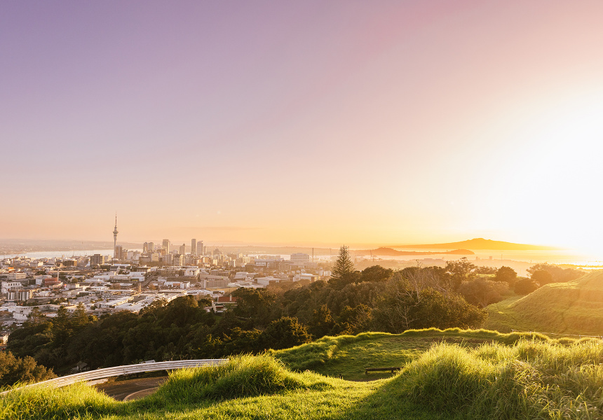
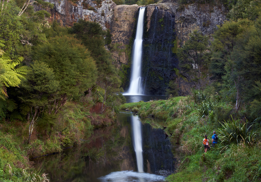
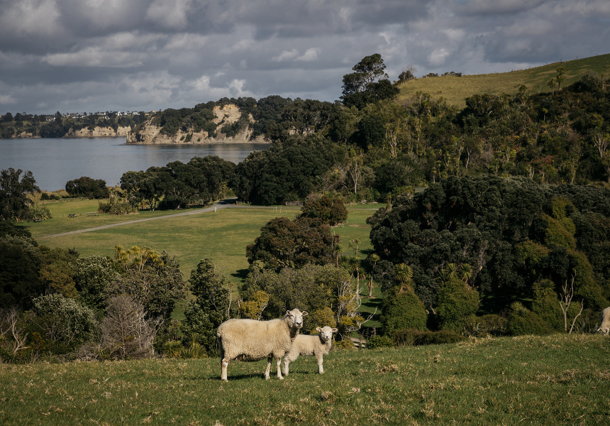
Tāmaki Makaurau Auckland is a geographically diverse city. Built on a narrow volcanic field made up of roughly 50 dormant peaks, it’s shouldered by the mighty black sand beaches of the West Coast, and the calming white sand beaches of the east, both playing home to their own unique biomes.
Enjoy the nightlife and immerse yourself in the city’s culture – then lace up your boots and escape into nature. Here are six walks that will leave you feeling like you’ve left the city behind.
Upper Nihotupu walk, Waiatarua
Out-and-back, 5 kilometres, easy terrain, low fitness, 1.5 hours return, 30 minutes’ drive from CBD
The Upper Nihotupu Reservoir was constructed in 1923 and is one of five in West Auckland’s Waitakere Ranges that supply water to the city. Following the Nihotupu Stream, this walk takes you deep into Waitakere’s ancient rainforest, showing off landscape that wouldn’t be amiss in Jurassic Park. Explore offshoots along the trail, and find waterfalls and old machinery as you make your way to the reservoir – then crossing the dam you’ll see views as far as Huia. You'll find a picnic area for a snack if you continue five minutes down the track from the dam.
Never miss a moment. Make sure you're subscribed to our newsletter today.
SUBSCRIBE NOWCossey-Massey loop track, Hunua
Loop, 8km, intermediate terrain, moderate fitness, 3 hours, 45 minutes’ drive from CBD
Draped in native bush, skirted by the Wairoa River, and home to a handful of reservoirs, the Hunua Ranges is South Auckland’s natural playground. Explore the best of the ranges with the Cossey-Massey loop – a walk combining the Massey track and the Cossey Gorge track. From the Hunua Falls carpark, the Massey takes you high up into the hills with views overlooking the Cossey reservoir before you then descend to the dam. You’ll return to the carpark via the rugged Cossey Gorge trail, peppered with small waterfalls and shrouded in dense greenery.
Mercer Bay loop walk, Piha
Loop, 2km, easy terrain, low fitness, 1 hour, 45 minutes’ drive from CBD
Along the clifftops of Te Unuhanga-a-Rangitoto (Mercer Bay), you will find the Mercer Bay loop, a Waitakere Ranges gem. Traversing rugged coastline where the Tasman Sea meets Auckland’s western shoulder, the trail is home to some of New Zealand’s most iconic native fauna such as pohutukawa, kanuka and harakeke. As you walk, the views over the cliffs to the ocean are spectacular – and there’s a few good spots for a photo and a breather. On the trail you’ll find a pou (carved post) honouring the importance of the area to the Te Kawerau a Maki iwi, who once had a pa (fortified settlement) at the site. Park your car at the end of Log Race Road, start from the southern entrance (by the toilets), and wander the loop in a clockwise direction – there’s a slightly strenuous climb at the end if you do it anti-clockwise.
Rangitoto summit walk, Rangitoto Island
Out-and-back, 7km, easy-intermediate terrain, moderate fitness, 2 hours return, 25 minutes by ferry from CBD
At just over 600 years old, Rangitoto is the youngest of the volcanic peaks scattered around Tāmaki Makaurau. Dominating the Hauraki Gulf, the island is a 25-minute ferry ride from downtown Auckland. Your walk to the summit will take you through lava fields, the largest Pohutukawa forest in the world, and bush consisting of more than 200 species of native fauna. Watch the canopies; birdlife on Rangitoto is flourishing after the island was declared pest free in 2011. You can expect to spot tui, korimako (bellbird), piwakawaka (fantail), and more, all thriving in their safe haven.
Maungawhau Mount Eden path, Mount Eden
Loop, 2.1km, elevated but easy terrain, low fitness, 40 minutes return, 15 minutes drive from CBD.
Mount Eden's Māori name is Maungawhau, meaning "mountain of the whau tree". The most central Auckland addition to this list, the walk up to Maungawhau's summit is still worthy and picturesque – especially since the new boardwalk was unveiled earlier this year. Look into the impressive crater, some 50 metres deep, that's within the summit cone, and take in panoramic views of Auckland from the summit of Auckland's highest volcano.
Shakespear Regional Park loop, Army Bay
Loop, 6.5km, easy terrain, moderate fitness, 3 hours, 45 minutes’ drive from CBD
This regional park is New Zealand’s most-visited wildlife sanctuary, at the tip of the Whangaparaoa Peninsula. Inside the predator-proof perimeter fence live kiwi pukupuku (little spotted kiwi), toutouwai (robin), and pōpokotea (whitehead), making it one of wider Auckland’s best bird-watching spots. Starting from the Waterfall Gully carpark, the Heritage trail takes you through native bush and past a waterfall to the Lookout trail. Once at the top, admire a panoramic view that spans from the skyline of the city all the way to Wenderholm Regional Park. Make your way back to the Heritage section and complete the rest of the trail, to find yourself back where you began. Don’t forget to explore the WWII gun emplacement.
This article was first published on December 6, 2022. It has since been updated.


